Shipping lanes. Created with QGIS. Source: IMFby…

Shipping lanes. Created with QGIS. Source: IMF by u/SignificanceFar4092
Shipping lanes. Created with QGIS. Source: IMF by u/SignificanceFar4092

The Carpathian Mountains Made using Qgis and Blender. by mapsbyp
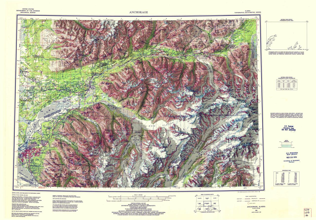
Hi-res relief-shaded map of Anchorage, Alaska, using SRTM, QGIS, and Blender

Major German drainage basins. Using QGIS and data from HydroSHEDS and NaturalEarth Data (Red is the Danube, everywhere else drains to the North Sea or Baltic Sea.) by @stevefaeembra